Road biking tours in the Salzkammergut
Various racing bicycle tours in the Salzkammergut region
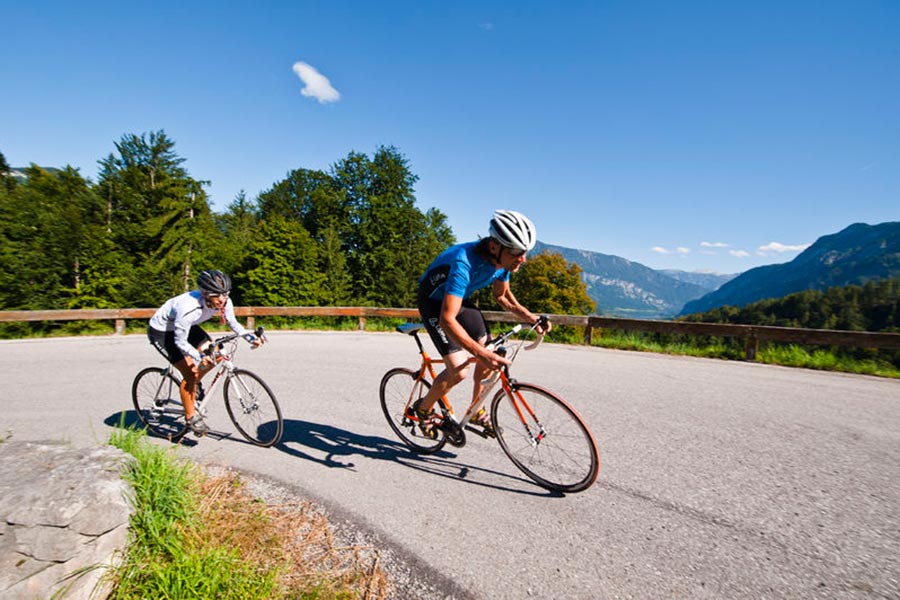
Reel off uncountable kilometres, feel the wind in your helmet and test your physical boundaries: many sportspeople just cannot resist the temptation of the narrow wheels.
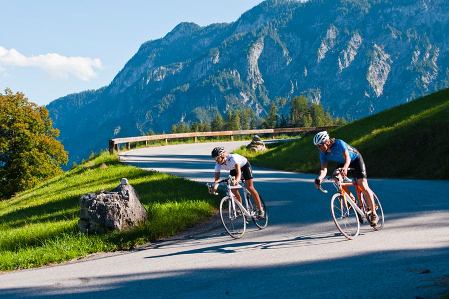
Go to new places with your road bike: in the road biking region Salzkammergut you go through wonderful lake and mountain landscapes of a unique variety during your road biking tours.
Bad Goisern – road biking tour to the Attersee variant 1
This beautiful tour takes you to the most beautiful Salzkammergut lakes.
Starting from Landhotel Agathawirt in Bad Goisern you take the main road B145 to the emperor’s town Bad Ischl. At the junction Bad Ischl Nord you take the road to Ebensee / Gmunden. Before reaching Ebensee you turn left into the Weißenbachtal valley (B153) and reach Weißenbach am Attersee. Via Strobl and Bad Ischl you finally go back to Bad Goisern.
Bad Goisern – Attersee with the racing bike variant II - long
The first part of this variant is the same as variant I until Weißenbach am Attersee. Then you cycle anti-clockwise around the Attersee and pass the villages Steinbach, Weyregg, Schörfling and Seewalchen, Attersee, Nussdorf and finally Unterach. Here you take the road to Mondsee. Just as in variant I you then go via Wiesenau and Schafling to St. Gilgen, then on to Strobl and Bad Ischl until you reach Landhotel Agathawirt in Bad Goisern.
Bad Goisern – Strobl on the racing bike
A beautiful and easy racing bike tour from Bad Goisern to Lake Wolfgang and through the emperor’s town Bad Ischl. Along the main road B145 you go slightly downhill to Bad Ischl. On a parallel path to the main road you cross the emperor’s town before you bike on a short stretch of the main road B158 to Pfandl. There you turn right at the traffic lights to the “Alte Wolfgangseestraße” L546. Via Wirling and Radau the road goes to Strobl and from here along the B158 back to the starting point in Bad Goisern.
Obertraun – Bad Aussee road biking tour
This tour leads you through the picturesque Koppental valley.
From the hotel you take the east shore hiking and biking path to Obertraun. There you make a turn to the road leading into the Koppental valley before you conquer the steepest part, the Koppenpass with a challenging gradient of max. 23%. On you go to Bad Aussee and then on the main road B145 towards Bad Goisern. At the traffic junction Bad Goisern Süd you turn to the main road B153 towards Gosaumühle. Here you turn at the junction and go via Hallstatt and Obertraun back to Hotel Agathawirt.
Road bike holidays in Landhotel Agathawirt
Have we wetted your appetite to explore the unique natural landscape of the Dachstein-Salzkammergut with the road bike? Bikers will be very well cared for in Landhotel Agathawirt and will always receive valuable tips for their bike tours by the hosts themselves. Send us a no-obligation enquiry for your holidays in Landhotel Agathawirt in Bad Goisern!
Selected road bike routes around Bad Goisern
Großer Pyhrgas of the Bosruckhütte
4582 Spital am Pyhrn

Description: Due to the increased risk of falling rocks and the generally brittle rock, we recommend that you only walk the Hofersteig (path no. 615) with a helmet! Surefootedness, a head for heights and a good physical condition are required. A rest in the particularly endangered areas should be avoided.
Hike of the Bosruckhütte to Rohrauerhaus and on the Hofer climbing trail to the Großer Pyhrgas.
You soon reach the Pyhrgasgatterl, through which the Styrian-Upper Austrian border runs. Follow the border northwards along the Hofersteig trail (trail no. 615 - please wear a helmet due to the risk of falling rocks), initially through wooded terrain, which later turns into rugged terrain. The path climbs steeply up to the pre-summit. As soon as you reach the shelter cave, the path becomes a little easier again and you soon reach the summit of the Großer Pyhrgas (2244 m). On clear days, you have a fantastic view from here!
The descent is along the ascent route to the shelter cave. At the crossroads, turn right and hike steadily downhill to the Hofalmsattel (approx. 1425 m, trail no. 614). Here, continue left to the beautiful Hiaslalm (approx. 1280 m) and shortly afterwards you will reach the gravel road that leads back to the starting point.
Paths covering:
further information:
- Possible accommodation
- Board possible
Leave the A9 at Spital am Pyhrn and enter the village via the B138. After the ADEG supermarket turn right into Sandstrasse and follow the signs to Dr. Follow Vogelgesangklamm. In Grünau, follow the supply road to the Bosruckhütte to the parking lot.
- Spring
- Summer
- Autumn
Please get in touch for more information.
Stiftsplatz 1
4582 Spital am Pyhrn
Phone +43 7563 249
Fax machine +43 7563 249 - 20
E-Mailspital@pyhrn-priel.net
Webwww.urlaubsregion-pyhrn-priel.at

