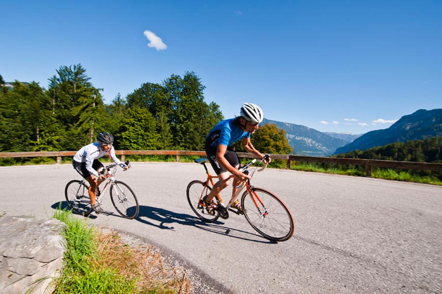
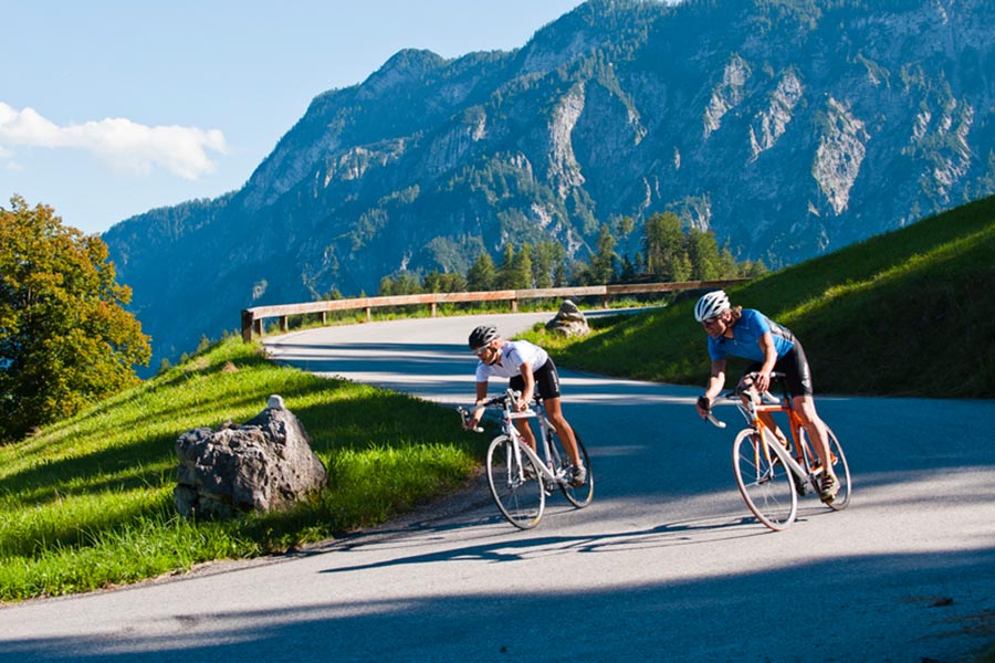
Road biking tours in the Salzkammergut
Various racing bicycle tours in the Salzkammergut region

Reel off uncountable kilometres, feel the wind in your helmet and test your physical boundaries: many sportspeople just cannot resist the temptation of the narrow wheels.
Go to new places with your road bike: in the road biking region Salzkammergut you go through wonderful lake and mountain landscapes of a unique variety during your road biking tours.
Bad Goisern – road biking tour to the Attersee variant 1
This beautiful tour takes you to the most beautiful Salzkammergut lakes.
Starting from Landhotel Agathawirt in Bad Goisern you take the main road B145 to the emperor’s town Bad Ischl. At the junction Bad Ischl Nord you take the road to Ebensee / Gmunden. Before reaching Ebensee you turn left into the Weißenbachtal valley (B153) and reach Weißenbach am Attersee. Via Strobl and Bad Ischl you finally go back to Bad Goisern.
Bad Goisern – Attersee with the racing bike variant II - long
The first part of this variant is the same as variant I until Weißenbach am Attersee. Then you cycle anti-clockwise around the Attersee and pass the villages Steinbach, Weyregg, Schörfling and Seewalchen, Attersee, Nussdorf and finally Unterach. Here you take the road to Mondsee. Just as in variant I you then go via Wiesenau and Schafling to St. Gilgen, then on to Strobl and Bad Ischl until you reach Landhotel Agathawirt in Bad Goisern.
Bad Goisern – Strobl on the racing bike
A beautiful and easy racing bike tour from Bad Goisern to Lake Wolfgang and through the emperor’s town Bad Ischl. Along the main road B145 you go slightly downhill to Bad Ischl. On a parallel path to the main road you cross the emperor’s town before you bike on a short stretch of the main road B158 to Pfandl. There you turn right at the traffic lights to the “Alte Wolfgangseestraße” L546. Via Wirling and Radau the road goes to Strobl and from here along the B158 back to the starting point in Bad Goisern.

Obertraun – Bad Aussee road biking tour
This tour leads you through the picturesque Koppental valley.
From the hotel you take the east shore hiking and biking path to Obertraun. There you make a turn to the road leading into the Koppental valley before you conquer the steepest part, the Koppenpass with a challenging gradient of max. 23%. On you go to Bad Aussee and then on the main road B145 towards Bad Goisern. At the traffic junction Bad Goisern Süd you turn to the main road B153 towards Gosaumühle. Here you turn at the junction and go via Hallstatt and Obertraun back to Hotel Agathawirt.
Road bike holidays in Landhotel Agathawirt
Have we wetted your appetite to explore the unique natural landscape of the Dachstein-Salzkammergut with the road bike? Bikers will be very well cared for in Landhotel Agathawirt and will always receive valuable tips for their bike tours by the hosts themselves. Send us a no-obligation enquiry for your holidays in Landhotel Agathawirt in Bad Goisern!
Selected road bike routes around Bad Goisern
Agermühlenweg

Inspiring nature, varied and barrier-free - this is how the Agermühlenweg presents itself over 4 kilometres.
Numerous information panels along this emerald-green waterway tell about the history, the mills, nature and life along this tranquil little river.
Further highlights on the well-surfaced, partly gravelled path are the information pavilion near the Wengermühle, the active playground near the bathing area as well as various places to pause for a moment, such as the GeZuWa-Platzerl near the Raudaschlmühle.
Start and finish are either at Kammer station or at the church square in Lenzing. Bus and train offer the possibility to return to the starting point in comfort.
Possible refreshments on the way:
Paths covering:
further information:
Details - hiking
- themed path
all year around
Car:
From Salzburg via the A1 - exit Seewalchen
From Vienna/Linz via A1 - exit Schörfling or Seewalchen
From the west - Bad Ischl-Weißenbach-Steinbach-Weyregg-Schörfling
By train:
Coming from Salzburg or Linz/Vienna to Attnang-Puchheim or Vöcklabruck - continue with the Kammer Bahn to BH Kammer Schörfling or with the bus stop Kammer-Agerbrücke or Seewalchen-Agerbrücke.
Parking possibilities:
- Train station Kammer Schörfling
- Unterachmann in Lenzing near the Wengermühle mill
- Parking space: 5
- All weather
- Suitable for groups
- Suitable for schools
- Suitable for kids (all ages)
- Suitable for pushchairs
- Pets allowed
- Suitable for teenagers
- Suitable for seniors
- Suitable for single travelers
- Suitable for families
- Suitable for friends
- Suitable for couples
- Suitable for children
- Spring
- Summer
- Autumn
- Early winter
Somewhat suitable for wheelchairs: Assistance is sometimes necessary. The measurements do not (fully) conform to the legally stipulated ÖNORM.
- Toilet facility for disabled people
Handicapped accessible WC facility at Kammer-Schörfling train station (under the Ager bridge) Passageway Schloßpark
4861 Schörfling am Attersee
Phone +43 7672 92955 - 0
E-Mailmarktgemeinde@lenzing.or.at
Webwww.agermuehlenweg.at
Webattersee-attergau.salzkammergut.at
https://attersee-attergau.salzkammergut.at


