Road biking tours in the Salzkammergut
Various racing bicycle tours in the Salzkammergut region

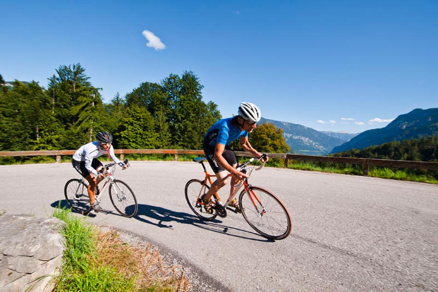
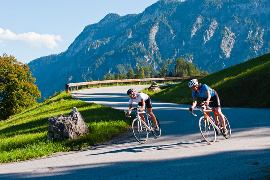
Reel off uncountable kilometres, feel the wind in your helmet and test your physical boundaries: many sportspeople just cannot resist the temptation of the narrow wheels.
Go to new places with your road bike: in the road biking region Salzkammergut you go through wonderful lake and mountain landscapes of a unique variety during your road biking tours.
Bad Goisern – road biking tour to the Attersee variant 1
This beautiful tour takes you to the most beautiful Salzkammergut lakes.
Starting from Landhotel Agathawirt in Bad Goisern you take the main road B145 to the emperor’s town Bad Ischl. At the junction Bad Ischl Nord you take the road to Ebensee / Gmunden. Before reaching Ebensee you turn left into the Weißenbachtal valley (B153) and reach Weißenbach am Attersee. Via Strobl and Bad Ischl you finally go back to Bad Goisern.
Bad Goisern – Attersee with the racing bike variant II - long
The first part of this variant is the same as variant I until Weißenbach am Attersee. Then you cycle anti-clockwise around the Attersee and pass the villages Steinbach, Weyregg, Schörfling and Seewalchen, Attersee, Nussdorf and finally Unterach. Here you take the road to Mondsee. Just as in variant I you then go via Wiesenau and Schafling to St. Gilgen, then on to Strobl and Bad Ischl until you reach Landhotel Agathawirt in Bad Goisern.
Bad Goisern – Strobl on the racing bike
A beautiful and easy racing bike tour from Bad Goisern to Lake Wolfgang and through the emperor’s town Bad Ischl. Along the main road B145 you go slightly downhill to Bad Ischl. On a parallel path to the main road you cross the emperor’s town before you bike on a short stretch of the main road B158 to Pfandl. There you turn right at the traffic lights to the “Alte Wolfgangseestraße” L546. Via Wirling and Radau the road goes to Strobl and from here along the B158 back to the starting point in Bad Goisern.

Obertraun – Bad Aussee road biking tour
This tour leads you through the picturesque Koppental valley.
From the hotel you take the east shore hiking and biking path to Obertraun. There you make a turn to the road leading into the Koppental valley before you conquer the steepest part, the Koppenpass with a challenging gradient of max. 23%. On you go to Bad Aussee and then on the main road B145 towards Bad Goisern. At the traffic junction Bad Goisern Süd you turn to the main road B153 towards Gosaumühle. Here you turn at the junction and go via Hallstatt and Obertraun back to Hotel Agathawirt.
Road bike holidays in Landhotel Agathawirt
Have we wetted your appetite to explore the unique natural landscape of the Dachstein-Salzkammergut with the road bike? Bikers will be very well cared for in Landhotel Agathawirt and will always receive valuable tips for their bike tours by the hosts themselves. Send us a no-obligation enquiry for your holidays in Landhotel Agathawirt in Bad Goisern!
Selected road bike routes around Bad Goisern
Attergauer 4 hill tour - Buchberg, Kronberg, Lichtenberg, Koglberg
4880 St. Georgen im Attergau

The 4 summit tour includes the four peaks of the Attergau. Along the way on 35.4 km and 1170 meters of altitude, the "house mountains" of the Attergau await you.
Buchberg: fantastic view of the Attersee, Höllengebirge, Dachstein, and much more.
Lichtenberg: lookout tower with a magnificent 360° panoramic view,
Kronberg: lookout point at the Kronberg chapel and ski lift and
Koglberg: Kelten.Baum.Weg and old ruin site of the ruin Kogl.
The starting point for this hike is the parking lot at the Keltenbaumweg at the Kogl traffic circle in St. Georgen im Attergau. Walk about 50 meters towards the center of St. Georgen before turning left. Go straight ahead and follow the signs to Wanderweg Buchberg. The path leads you through the village in the direction of Alkersdorf, here you can already expect the 1 summit of the 4 summit round.
Buchberg- small mountain with a big panorama (780 m)
Follow the signs Buchberg/Jagastüberl, the path leads you along a forest road to the summit of the Buchberg. Next to the summit cross including a refuge, the Jagastüberl, a breathtaking view of the Attersee awaits you. After a short rest, continue hiking in the direction of Attersee am Attersee (beware, it's steep). From Attersee am Attersee follow the signs towards St. Georgen until you reach the village of Palmsdorf. From here the path leads you through the village Abtsdorf up to the Kronberg to the Kronberg chapel.
Kronberg- Viewpoint Kronberg Chapel (789 m)
The Kronberg has an altitude of 789 m and borders the valley around St. Georgen im Attergau next to the Buchberg and the Lichtenberg.
The chapel on the Kronberg (Maria zur Immerwährenden Hilfe) is located in the municipality of Straß im Attergau and dates in its current form from the 1870s.
The square in front of the chapel offers an excellent view of the northern Attersee and the landscape of the Attergau. Ideal for a rest is the Hollerweger snack station opposite (open daily May to Oct.).
From the Kronberg Chapel, the trail leads you along the Glücksweg to Wildenhag. In Wildenhag, turn left after the Hotel Waldmühle and then left again shortly after. The road turns into a meadow path shortly after. Follow the path until you reach the village Buch. In Buch turn right and follow the road for a short distance before turning left towards Bergham on concrete tracks. At the end you turn right, cross a bridge over the highway here and then keep left towards Thalham. After crossing the Oberwanger Landesstraße, the trail leads to the right, past the Thalham dog training area, then immediately turn left. Afterwards the hiking trail leads you along the Klausbach up to the Lichtenberg.
Lichtenberg- highest point in the Attergau (885 m)
Follow the signs Lichtenberg up to the Attergau lookout tower.
The Lichtenberg with a height of 885 m is the highest elevation in the municipality of Straß. On the eastern part of the Lichtenberg is also the highest elevation of the municipality Berg im Attergau with 880 m and the municipality St. Georgen i. Attergau with 820 m, just below the summit.
From the Attergauer Aussichturm, the trail leads you along hiking trail 1b and then 1c to the village of Kogl.
Koglberg- Ruin site Ruin Kogl (680 m)
In Kogl, turn right after the Kogl Rehabilitation Center and follow the road for a short distance until a hiking trail along avenues of trees leads you right up into the forest to the Koglberg (signposted Keltenbaumweg).
Along the Kelten.Baum.Weg you have the possibility to make a short detour to the ruin Kogl - just follow the signs Ruine Kogl, which will automatically lead you back to the Kelten.Baum.Weg.
Kogl Castle was built in 1264 - there were many changes of ownership and until the beginning of the second half of the 18th century, the castle was not permanently inhabited after that, so decay set in. As a result, the new Kogl Castle was built around 1750 at the foot of the Kogl Mountain. There is also an old stand of larch trees to admire.
Stay along the Keltenbaumweg, after the ruins of Kogl Castle it leads you past the adventure playground as well as the Vogl Anna Platzl lookout point. Now the path goes slightly downhill back to the starting point, the Keltenbaumweg parking lot at the traffic circle.
Walking times:
Parking lot - Buchberg: 1.5 - 2 hrs.
Buchberg summit - Kronberg summit: 3 - 3.5 hrs.
Kronberg summit - Lichtenberg summit: 3 - 3.5 hrs.
Lichtenberg summit - Koglberg summit: 1.5 - 2 hrs.
Koglberg - parking lot: 30 min.
Total: 35.4 km and 1170 vertical meters
Paths covering:
further information:
- Flatly
- Possible accommodation
- Experience of nature
- Board possible
Car:
From Salzburg via the A1 - exit St. Georgen im Attergau - continue right on the
Attergaustrasse L540 in the direction of the city center
From Vienna/Linz via the A1 - exit St. Georgen im Attergau - continue right on the
Attergaustrasse L540 direction center
From the west - Bad Ischl - Weißenbachtal (B153) - further on B152 to Unterach - then
on B151 to Attersee- further on L540 to St. Georgen im Attergau
By train:
Coming from Salzburg or Linz/Vienna with the "Österreichische Bundesbahnen" or the
"Westbahn" to Attnang-Puchheim, continue with the regional train to Vöcklamarkt
to St. Georgen im Attergau
Plane:
Arrival in Salzburg or Linz/Vienna, continue by car/bus or train.
- Suitable for teenagers
- Suitable for seniors
- Suitable for single travelers
- Suitable for friends
- Suitable for couples
- Spring
- Summer
- Autumn
Please get in touch for more information.
Attergaustraße 55
4880 St. Georgen im Attergau
Phone +43 7666 7719 - 80
E-Mailinfo.attergau@attersee.at
Webattersee-attergau.salzkammergut.at/
You can also visit us on
Facebook Instagram Pinterest YouTube Wikipedia


